Bathymetric Surveys


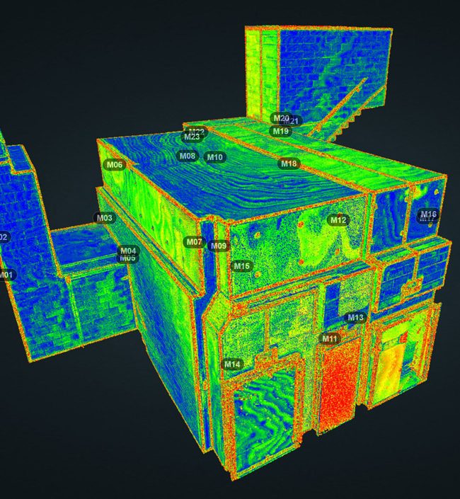
Bathymetric Surveys capture the topography and terrain of a water body and used to illustrate the land that lies underwater.

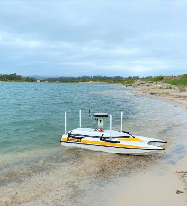
Orion’s technology includes single and multi-beam echo sounders which can be mounted on vessels of varying capacity to service projects of various sizes and depths. Single beam sounders provide better results for shallow water bodies and multi-beam better suited for deeper water sounding.

Bathymetric Survey applications include;

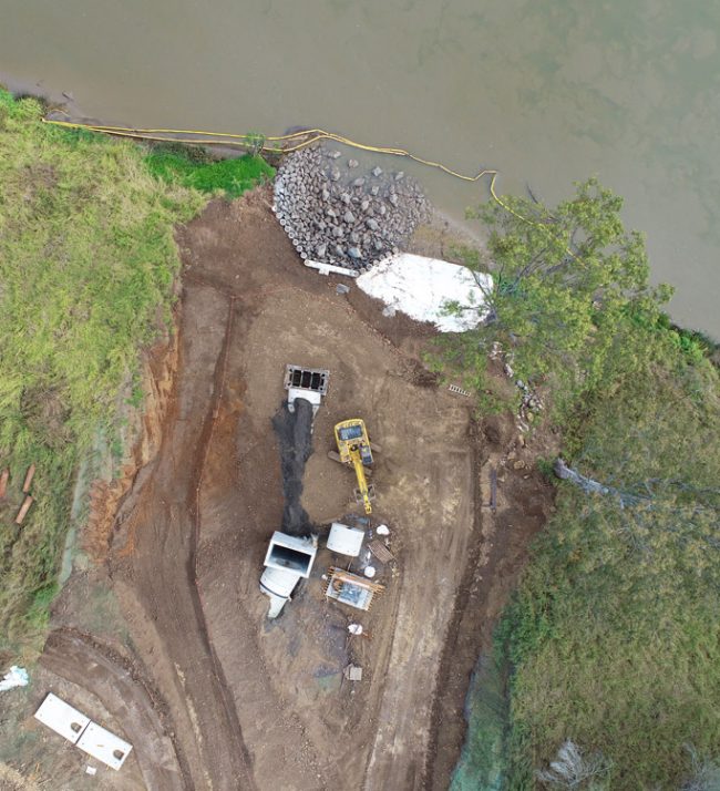
  • Surveying Dams, Canals, Lakes and Rivers
  • Surveying of Ports and Harbours
  • Pre and Post Surveys for Dredging operations
  • Monitoring Survey of Sand/Silt movements

Bathymetric Surveys Projects

Privacy Settings
We use cookies to enhance your experience while using our website. If you are using our Services via a browser you can restrict, block or remove cookies through your web browser settings. We also use content and scripts from third parties that may use tracking technologies. You can selectively provide your consent below to allow such third party embeds. For complete information about the cookies we use, data we collect and how we process them, please check our Privacy Policy
Youtube
Consent to display content from - Youtube
Vimeo
Consent to display content from - Vimeo
Google Maps
Consent to display content from - Google