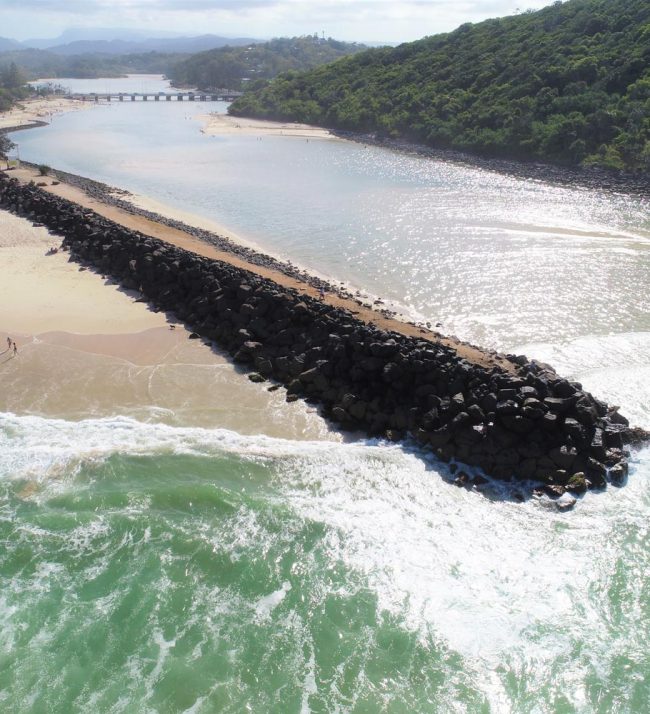
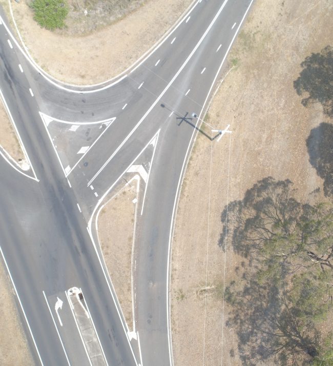
3D Data and imagery captured across Orion’s airborne, mobile and terrestrial platforms can be used to create high quality 3D Reality Models.
A 3D Reality Model provides end users with real-world visualisation of existing site conditions and is georeferenced, accurate, realistic and interactive. 3D Reality Models assist across planning, design, engineering, construction, GIS and asset management applications.
Orion also has the capability to extract information from our 3D Reality Models, integrate design models for planning applications and undertake change detection from periodic models.
We tailor our 3D Reality solutions and apply the appropriate capture technique and imagery resolution to meet our clients needs, timeframes and budget. Orion’s 3D Reality Models are compatible with leading BIM software or can be provided in web-based platforms for easy access to multiple users.